Melannie Moreno Rolón
  • Home
  • About
  • Resources
  • Portfolio
Categories
All (4)
Climate (1)
Climate Variability & Change (1)
Data Visualization (1)
Geospatial Analysis (1)
MEDS (3)
Puerto Rico (2)
R (2)
Statistics (1)

My Blog Listing Page

A Geospatial Assessment of Burn Severity and Social Vulnerability in the 2025 LA Wildfires
Author: Melannie Moreno Rolón
undefined Moreno Rolón

Visualizing Storm Impacts in Puerto Rico
MEDS
Data Visualization
Climate
Puerto Rico

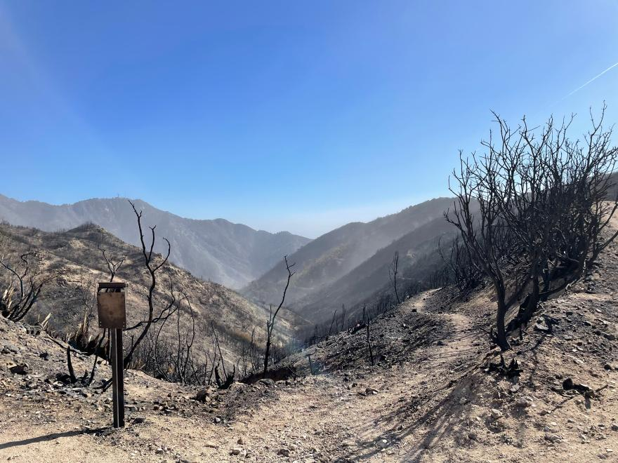
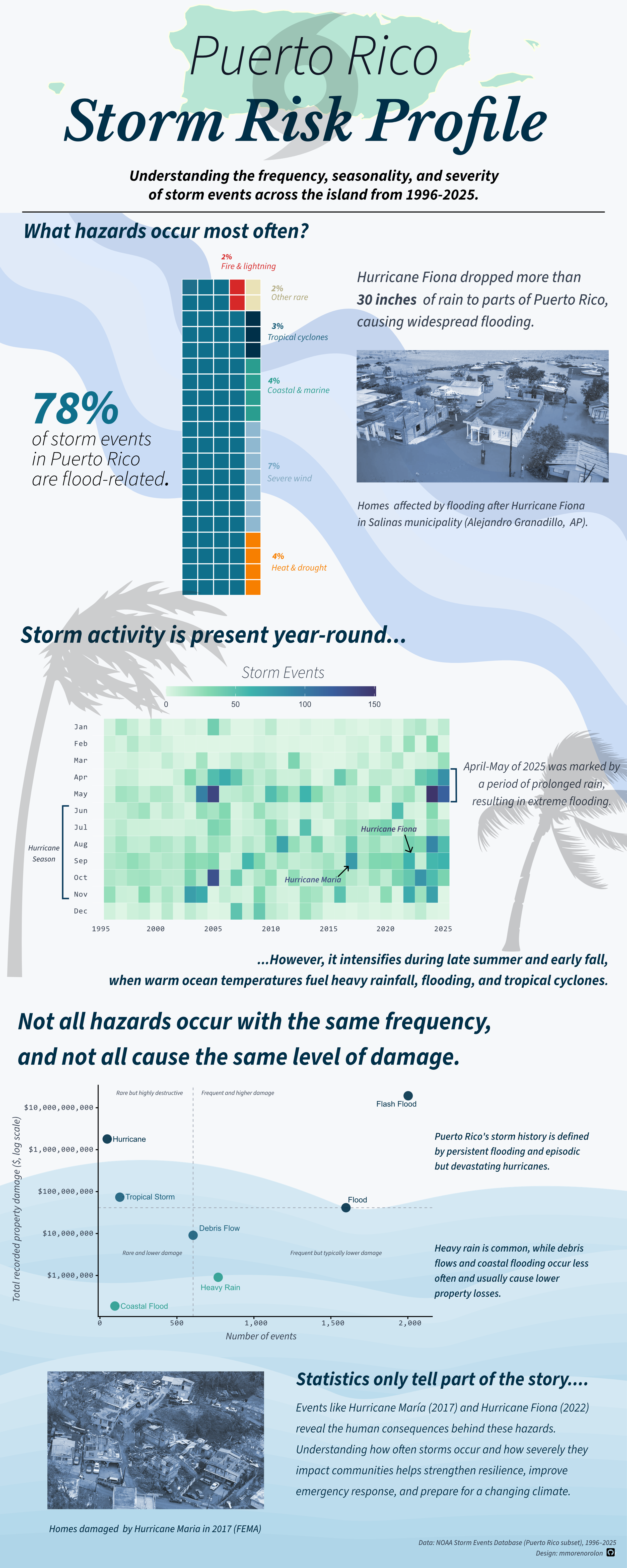
A data‑driven infographic exploring storm hazard frequency, seasonality, and severity in Puerto Rico using NOAA’s Storm Events Database.

undefined Moreno Rolón, Melannie Moreno Rolón
Mar 8, 2026

Evaluating Species-Specific Environmental Suitability for Marine Aquaculture Development Along the U.S. West Coast
MEDS
R
Geospatial Analysis

Analysis of U.S. West Coast Exclusive Economic Zones to identify suitable marine aquaculture areas based on species-specific sea surface temperature and depth ranges.

undefined Moreno Rolón, Melannie Moreno Rolón
Dec 12, 2025

Temporal Trends in the Frequency of Extreme Precipitation Events at San Juan Int’l Airport, Puerto Rico
R
Statistics
Climate Variability & Change
Puerto Rico
MEDS

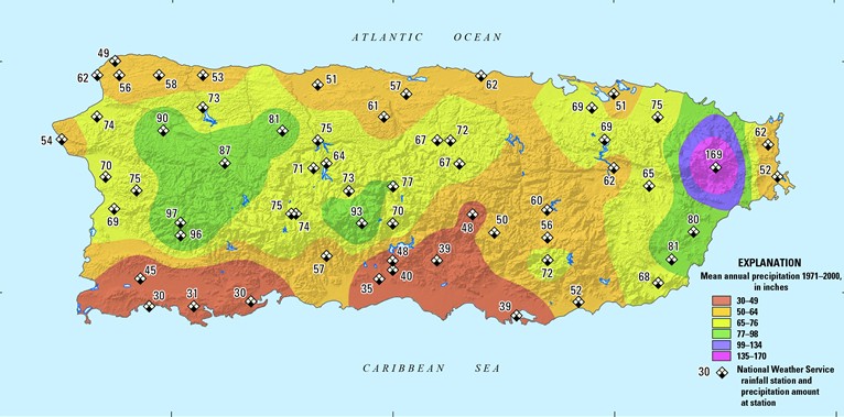
A Negative Binomial analysis of 50 years of extreme rainfall events using NOAA data.

undefined Moreno Rolón, Melannie Moreno Rolón
Dec 11, 2025
No matching items

Copyright 2025, Melannie Moreno Rolón

 
  • Posts